Why We’re Building SharedStreets
Tools for the ‘bottom-up’ digital city
By Mollie Pelon McArdle and Kevin Webb in SharedStreets Insider · March 5, 2019
It is no secret that the way we move around cities has dramatically changed in the last decade. It is also no secret that the majority of new mobility modes that have dropped on our doorsteps have not met infrastructure that is ready for their arrival — physical or digital. Just as our built infrastructure is still making space for bike share systems, scooters, and new models for goods delivery, our digital infrastructure has some serious catching up to do.
We have met a moment where an important choice confronts us. Create digital infrastructure that is open and enables inclusive, bottom-up participation in shaping cities through protocols for communication and collaboration, or follow suit with the last decade of innovation by creating a top-down “platform-powered” notion of technology, that doubles-down on control and centralization.
A person’s ability to travel freely or gather for political purposes, without hindrance or surveillance, on public streets is a true measure of how democracy works in our cities. SharedStreets is built on the belief that the map of the street is critical public infrastructure. We know that a shared digital language for the street can revolutionize the way we build cities and move around them. It is the foundation for the future we want to live in and we think that it is essential this digital infrastructure be open to all, just like the streets and cities it supports.
These are the values we encode in the open source software and open data infrastructures we build for and with cities and companies to seamlessly share information about the street. At the core of that work is the shared belief that the city is a common good and that the citizens hold the power to collectively shape their cities (David Harvey, The Right to the City). That gets trickier in the age of technology, but we know that great cities aren’t created by the architecture of control. They’re designed by people, through the architecture of participation.
We created SharedStreets to enable and empower cities to make decisions based on the best information about their streets. Our work is designed to be a launching pad for experimentation and new bottom-up models of innovation and governance.
SharedStreets is both a language of communication and a growing set of modular tools that allow everyone to speak with clarity and precision about how our transport system works. These tools can be used together or integrated into your workflow separately and as needed. Since everything we build is open-source, anyone can build their own systems on top of our work, adapt it, extend it, or make it their own.
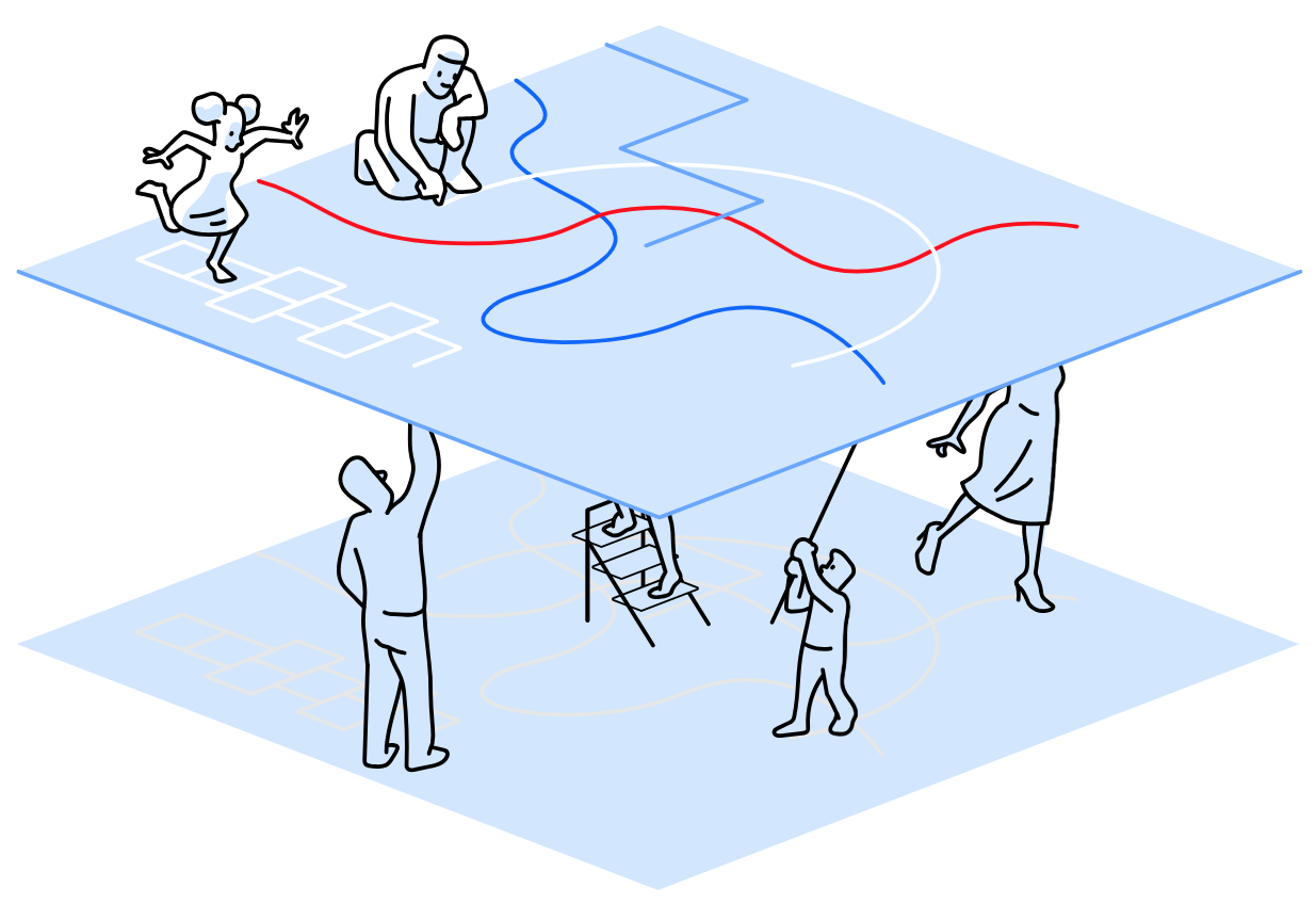
How do you make a complex digital system transparent, open, and adaptable so that it can change with the city and its people?
Make the digital map of the street shared understanding, not proprietary insight.
SharedStreets uses a shared digital understanding of streets to unlock far more value and potential than any one entity can gain from controlling it. Democratic ownership of identifiers is what makes things like the internet possible — it’s an addressing system for digital space, which in turn enables enormous array of protocol for communication about city streets.
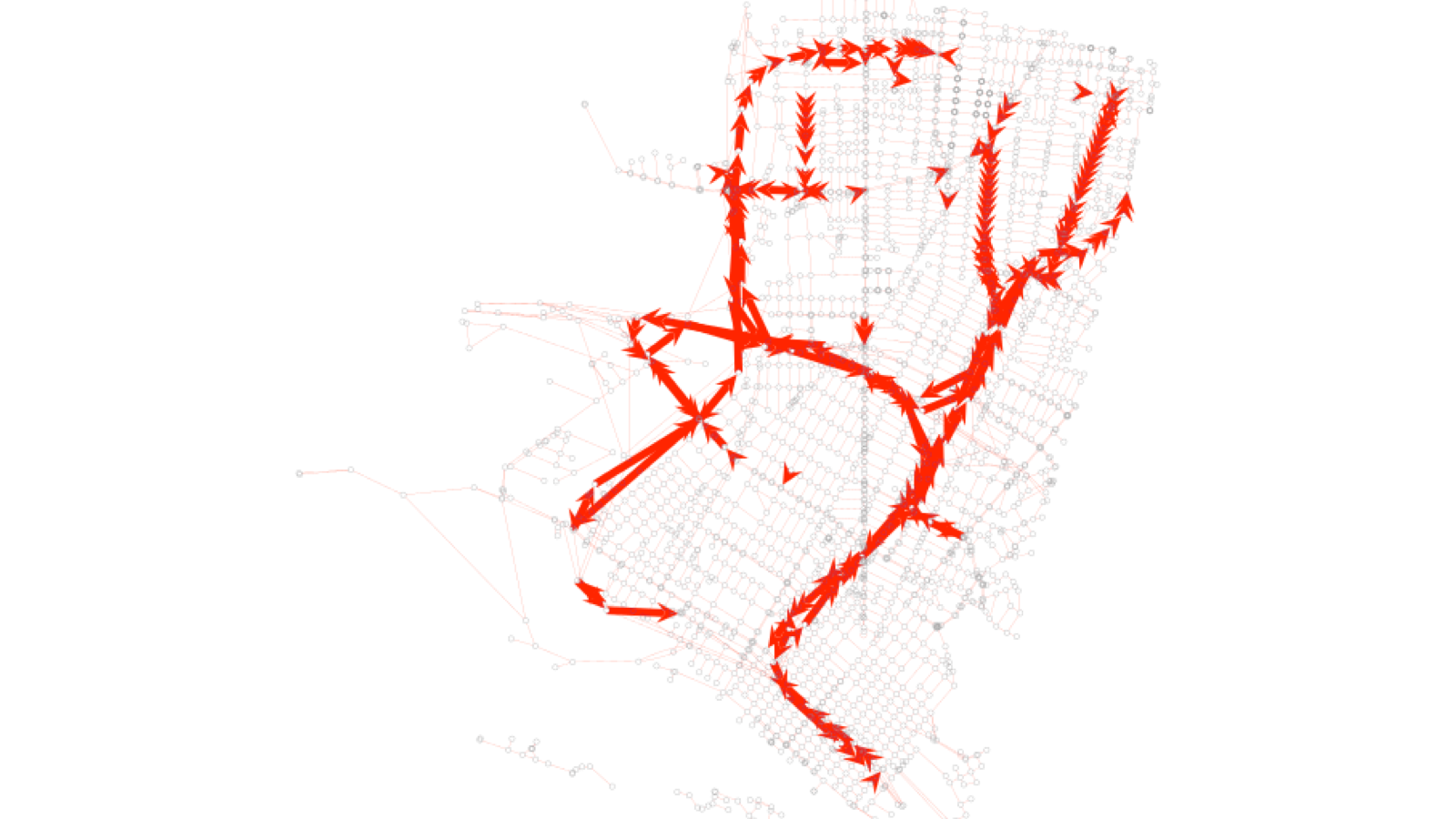
Up until now we’ve relied on raw spatial coordinates like latitude and longitude, or building numbers to define where things are, but those aren’t able to describe many new forms of data critical to managing our transportation system, like the location of a parking space or a bus stop, in a way that a computer could read.
It is not a new idea that identifiers are a form of power. The ability and right to name things has applied to everything from postal addresses to people. But precise, structured identifiers about streets and public space are becoming increasingly important as new forms of digital regulation and coordination depend on structured machine-readable definitions of space.
Just as our physical worlds are shaped by our own understanding, our digital understanding of the world is formed by consensus. To paraphrase famed 20th century statistician (aka “Data Scientist”), George Box, all maps are wrong, but some are useful. All representations of the world, digital or otherwise, are imperfect, incomplete, and ever evolving. Rather pursuing a single universal digital truth, SharedStreets is creating tools and protocols that allow us to share insight and data linked to multitude of maps of different quality and perspective.
In our work at SharedStreets, we’re helping cities build trust instead of tracking systems, manage change without control, and democratize the creation (and re-creation) of our digital cities. Working from the bottom-up is both messier and more nuanced than top-down control. But that messiness is what makes it resilient, adaptable, and extraordinarily innovative. And the healthiest, most innovative and resilient cities are complex, messy places, too, for precisely the same reason.
This post was shaped by our team members, Tim O’Reilly’s ‘The Architecture of Participation, Andrew Eland & Richard Pope’s ‘A Right to the Digital City’, David Harvey’s ‘The Right to the City’, and Martin Tisne’s ‘It’s Time for a Data Bill of Rights’.

Get Involved
Do you work for a city or government agency? A private company? Or are you an independent researcher or developer? Learn how to start using the SharedStreets Toolkit.
Get Started